GIS portfolio of Sara Diercks

I'm currently a GIS Analyst living and working in Portland, Oregon. This portfolio showcases some of my past projects.

Projects

Project thumbnail for Oil, Natural Gas, and Coal Exploration in U.S. Public Lands

Oil, Natural Gas, and Coal Exploration in U.S. Public Lands

Final Project
2.13 MB

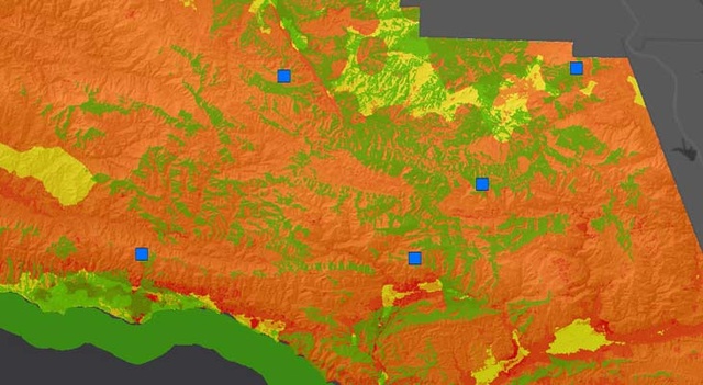
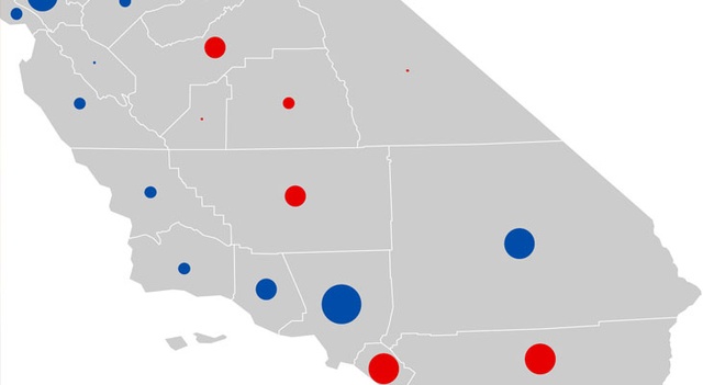
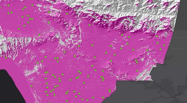
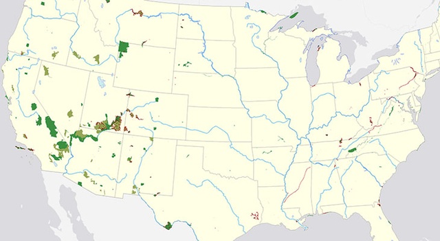
Using geoprocessing and overlay analysis, this project determines how much oil, natural gas, and coal exists within U.S. public lands. The geometry attribute tool was used to calculate areas, and in turn, percentages of public lands containing the resources. Maps depict resource coverage within public lands.

Project thumbnail for Fire Lookout Towers in Los Padres National Forest

Fire Lookout Towers in Los Padres National Forest

Final Project
8.18 MB

Using viewshed analysis, this project determines whether or not the Los Padres National Forest in southern California would benefit from resurrecting fire lookout towers. Maps include current tower coverage, current coverage in fire threat areas, potential coverage with resurrected towers, and wildfire history before and after tower use. Zonal tabulation is used to determine results of tower coverage.

Project thumbnail for California Election Bivariate Map

California Election Bivariate Map

97.3 kB

Using thematic symbology, a bivariate map of California's 2012 presidential election results, based on county population size. The map also highlights which two counties had the largest vote share per party/candidate.

Project thumbnail for California Reference Map

California Reference Map

452 kB

A reference map of California demonstrating cartography skills and styling choices. The map features urban areas, park lands, bodies of water, and roadways.

Project thumbnail for Campground Site Analysis

Campground Site Analysis

4.95 MB

Using raster operations to perform a campground site suitability anaylsis. Includes map of possible campground site locations based on aggregate score system on how well they meet certain criteria, along with relief map of the site region and chosen site area.

Project thumbnail for Bridging the Darien Gap

Bridging the Darien Gap

1.69 MB

A cost-distance analysis (using terrain slope and bodies of water) on 2 potential routes for bridging the Darien Gap along the Pan-American Highway. Analysis also includes elevation profile maps for each route.

Project thumbnail for Los Angeles Dot Density Map

Los Angeles Dot Density Map

1.47 MB

Features the distribution of racial and ethnic groups across the Los Angeles metropolitan area. The data is displayed using dot density, where 1 dot equals 15 people.

Project thumbnail for Network Analysis of Riverside Starbucks

Network Analysis of Riverside Starbucks

6.27 MB

This network analysis focuses on populations within a 3-minute drive of a Starbucks loction and drive times from a proposed store closure to other stores. A network analysis was also performed on 3 Starbucks locations, resulting in a proposal for a store closure.

Project thumbnail for Generalized Transit Map

Generalized Transit Map

331 kB

A simplified tranist map of a Los Angeles bus route. Map was created in ArcMap using the draw tool and highlights cartography and styling choices.

Project thumbnail for Cellular Coverage Viewshed Analysis

Cellular Coverage Viewshed Analysis

8.38 MB

Looking at improving cellular coverage using the viewshed analsys tool. Project includes map of current cellular coverage, coverage with 3 additional cell towers, coverage with increased cell tower height, and coverage with increased tower range. The anaylsis compares each variable's coverage percentage and results in recommendation for best option.

About

After several years of working in news and television, I committed to a career change, and in 2018 earned my Certificate in GIS & Geospatial Technology. I now have over 2 years of experience as a GIS Technician working in utilities, but am interested in using my skills to advance my role in other fields. I'm excited about data analysis and cartographic design. The thing I love most about GIS is the visual clarity and analyses we can draw to better understand the world around us. I have a BA in Mass Media Communications from Salisbury University.

I currently reside in Portland, OR but am willing to relocate. My interests include photography, traveling, history, and of course, maps!

Contact

I'm currently seeking employment opportunities. Please email me.